# Location & maps
> Getting a position, tracking it, and putting a map on screen.
- Source: https://titaniumsdk.com/docs/build/location
- Written for Titanium SDK 13.4.0 and later.
- This corpus documents Titanium SDK 13.4.1. Anything here that does not name a version describes 13.4.1.
- Titanium is maintained by TiDev. The Appcelerator toolchain is retired: there is no `appc` CLI, no Appcelerator Studio and no hosted build service. The supported CLI is `titanium` on npm, invoked as `ti`.
---
Location needs permission, and the permission has kinds: while-in-use or
always, and on iOS precise or approximate. Ask for the least you need.
```js
if (!Ti.Geolocation.hasLocationPermissions(Ti.Geolocation.AUTHORIZATION_WHEN_IN_USE)) {
Ti.Geolocation.requestLocationPermissions(Ti.Geolocation.AUTHORIZATION_WHEN_IN_USE, (e) => {
if (e.success) {
locate();
}
});
} else {
locate();
}
```
`tiapp.xml` needs the matching usage string on iOS:
```xml
NSLocationWhenInUseUsageDescription
Show which notes were written near you.
```
Asking for `AUTHORIZATION_ALWAYS` is a much bigger request, is reviewed harder,
and on iOS the user is asked again later whether they meant it. Do not request
it for a feature that works while the app is open.
## One position
```js
function locate() {
Ti.Geolocation.getCurrentPosition((e) => {
if (!e.success) {
Ti.API.error(`location failed: ${e.error}`);
return;
}
const { latitude, longitude, accuracy } = e.coords;
Ti.API.info(`${latitude}, ${longitude} +/- ${accuracy}m`);
});
}
```
`accuracy` on the result is a radius in metres, and it is the number that
decides whether a fix is usable. A first fix indoors can be several hundred
metres wide; treat anything above your tolerance as "not yet" rather than as an
answer.
## Tracking
```js
Ti.Geolocation.accuracy = Ti.Geolocation.ACCURACY_HIGH;
Ti.Geolocation.distanceFilter = 10;
function onLocation(e) {
if (!e.success) return;
Ti.API.info(`moved to ${e.coords.latitude}, ${e.coords.longitude}`);
}
Ti.Geolocation.addEventListener('location', onLocation);
```
`distanceFilter` is metres of movement before another event, and it is the
single most effective thing you can set: without it you get an event per fix,
which is a battery complaint waiting to happen.
**Remove the listener when the screen goes away.** Location updates continue
while a listener is attached, whether or not anything is looking at them.
```js
win.addEventListener('close', () => {
Ti.Geolocation.removeEventListener('location', onLocation);
});
```
Set `accuracy` to the loosest value that works. `ACCURACY_HIGH` powers the GPS
radio; a "which city" feature does not need it.
## Addresses
`reverseGeocoder` turns coordinates into an address and `forwardGeocoder` does
the reverse. Both are network calls against a platform service, so they fail
offline and are rate limited:
```js
Ti.Geolocation.reverseGeocoder(latitude, longitude, (e) => {
if (e.success && e.places.length) {
Ti.API.info(e.places[0].address);
}
});
```
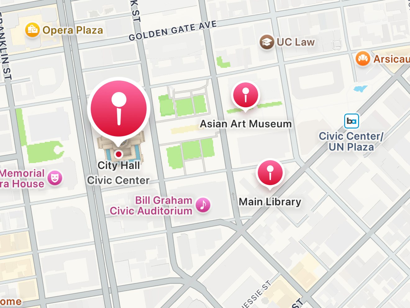
## Maps
Maps are **not** in the core SDK. `ti.map` is a module, maintained by TiDev,
and it wraps Google Maps on Android and MapKit on iOS.
```
ti.map
ti.map
```
```js
const Map = require('ti.map');
const view = Map.createView({
mapType: Map.NORMAL_TYPE,
region: { latitude: 51.5, longitude: -0.12, latitudeDelta: 0.05, longitudeDelta: 0.05 },
annotations: [
Map.createAnnotation({ latitude: 51.5, longitude: -0.12, title: 'Here' })
]
});
win.add(view);
```
Android additionally needs a Google Maps API key in `tiapp.xml`, and a build
without one shows an empty grid rather than an error. If your map is blank grey
squares, that is the reason.
See [using modules](https://titaniumsdk.com/docs/build/modules.md) for installing it, and the module's
own reference for the full API.
## Next
[Notifications](https://titaniumsdk.com/docs/build/notifications.md) covers local and push.